Snow Fell Across SE Ohio Today -and Elevation Played Into How Much Snow Stuck
ZANESVILLE, Ohio- Snow showers started falling earlier this morning with temperatures in the upper-30s.
Slowly as the precipitation began to fall faster and with bigger flakes, the snow was able to cool the air above enough to drop us into the mid-30s.
A 2-4° temperature drop does not seem like much, but it was enough to cause the snow to accumulate on cars, vegetation, and other elevated surfaces.
Being so close to the freezing mark, different parts of Zanesville saw a significant difference in the type of snowfall they experienced.
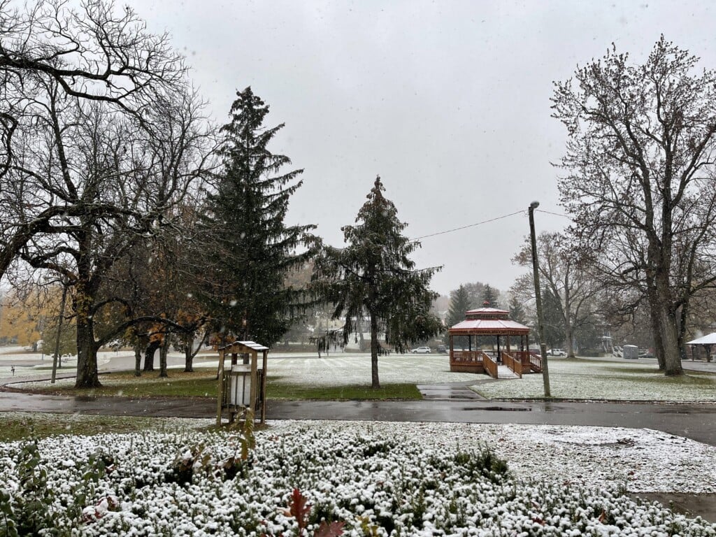
Some places saw only the snow falling -and melting on contact with anything. While other places saw the snow sticking and turning the landscape into a winter wonderland.
Earlier today, Storm Team Meteorologist Gunnar Consol was atop the Putnam Hill Overlook explaining the science -in an impromptu video- behind the snowfall disparity in such a small geographic spread.
[Transcription of video above:
“I’m currently at the Putnam Hill Overlook here in Zanesville, Ohio. And I’m noticing something pretty interesting right here at the outlook. It’s 34° and that means -being this close to the freezing mark- that elevation and land use development play a key role in what kind of snow we’re seeing right now. Here at the outlook, it’s 34° and you’ll see that the snow is sticking pretty well to the shrubbery, the ground, the rooftops, and even these benches. But across the Muskingum River and just a hundred feet lower, we see a lot more development, and we’re not seeing that snow stick to either the grass or the rooftops. It’s really a tale of two different storms just a hundred feet apart. “]
The season’s first snow stopped falling right around 4 o’clock this afternoon. Fortunately with this system no shoveling or plows were required.