Allan Turk II – U.S. Air Force, Chief Master Sergeant, 1988-2018
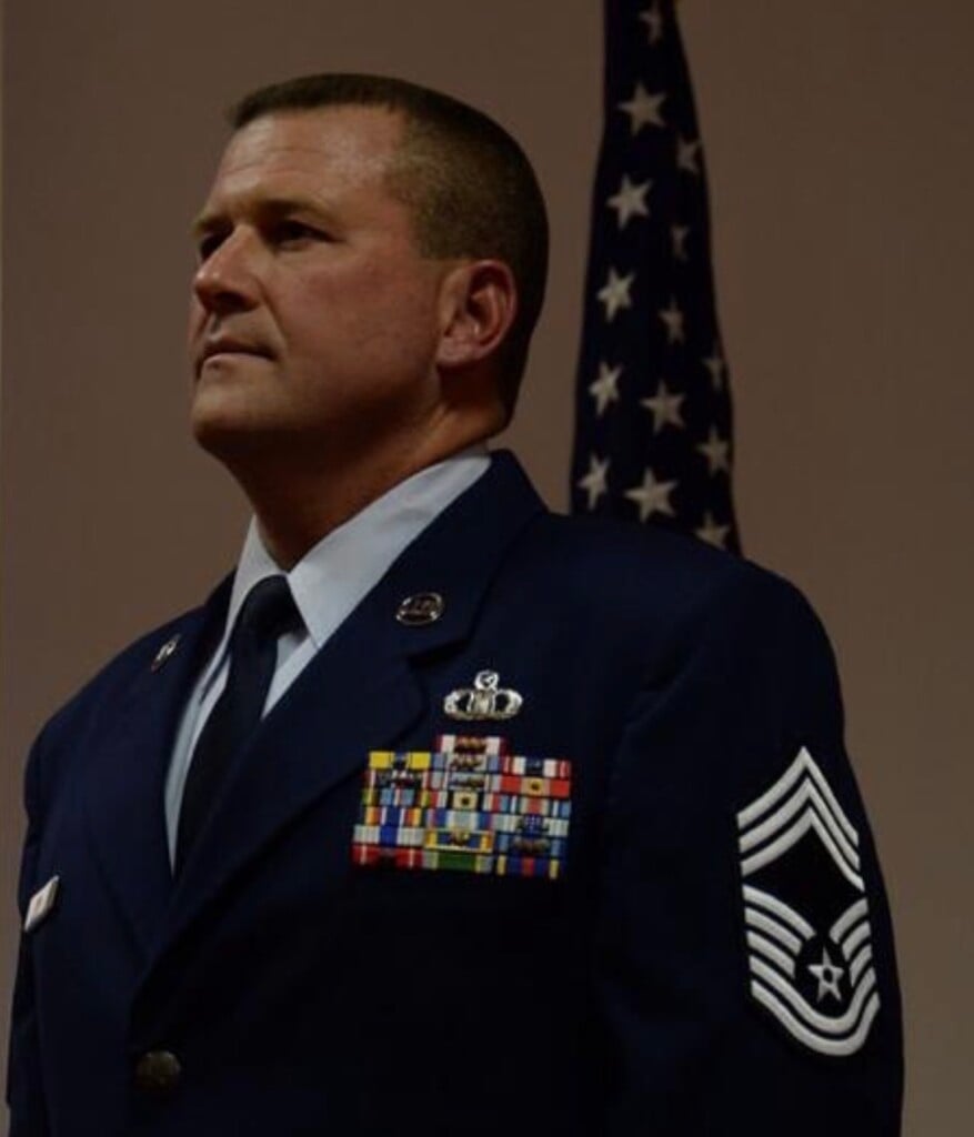
Allan was born in Zanesville and is a 1988 Graduate of New Lexington High School. He entered the USAF in September of 1988 to pursue his dreams in being an Air Traffic Controller. Allan ultimately achieved the rank of Chief Master Sergeant and served in the Air Force for over 30 years and retired in 2018 He has traveled the world in support of the nation defense of our country. Allan currently resides in Las Cruces New Mexico and is the Director of Aerospace Operations at Spaceport America. He makes it back to Zanesville regularly to see his family. Allan is married to his wife Jennifer and they have two children, and recently became grandparents.